
Attleboro Neighbors by Block
Attleboro public sources answer different block questions. The strongest first record is the parcel map because it works from geometry. A selected parcel and its true abutters are more useful than a loose list of similar street addresses. Attleboro assessment and Registry data can add owner and legal-boundary context. A local voter record may be available by request, but it is governed by field and confidentiality limits. Historic material offers earlier street or neighborhood context, not a current household roster.
| Source | What It Shows About a Block | Access |
|---|---|---|
| AxisGIS Abutters | Adjacent parcels, owner-linked assessment context, selected buffer area | Free Attleboro AxisGIS viewer; PDF or Excel abutters report |
| AxisGIS assessment report | Selected parcels with owner, mailing, situs, value, and linked-card context | Attleboro viewer report and individual parcel cards |
| Northern Bristol Registry plans and deeds | Lot lines, plan references, legal descriptions, and recorded parties | Online Registry search for Attleboro or official counter/copy route |
| Municipal voter list | Permitted registered-voter fields at listed addresses | Request from the Attleboro local election official; protected and minor data withheld |
| Historic house guides and maps | Earlier occupants, buildings, lots, uses, and map-era street context | State Library, Library of Congress, and Attleboro local collections |
| Public civic and history groups | Meeting information, historic clusters, and public local-history context | Attleboro organization or City pages |
An Attleboro owner name or tax-bill mailing address does not prove that the owner lives at the parcel. It can point to the recorded owner, while renters, other household members, utilities, and delivery information are not open block lists.
Attleboro Block Work in AxisGIS
Attleboro Planning and Development links to the public AxisGIS viewer and its help material. AxisGIS searches by owner, address, or parcel ID. A search result zooms to the selected parcel and opens parcel details with linked assessment and document areas when available. For an address search, the guide advises starting with a street root without the suffix because variations such as Street and St can affect a match.
The City planning map page is the local route into the mapping tools used for the first parcel check.
Start with one confirmed Attleboro parcel, rather than selecting results just because they share part of a street name.
Search detail. AxisGIS says less is more when searching. Owner data also reflects human entry, so a last-name search and a simple street root can reveal variants that a full formal entry misses.
Map an Attleboro Block by Parcel
Attleboro AxisGIS supplies a documented abutters workflow for the block around one address. It uses the subject parcel and map geometry, not an assumption that consecutive house numbers share a boundary. The viewer can refine a selection before exporting it. Keep the selected Attleboro parcel IDs and the date of the report in your notes so the result can be checked later.
- Search the subject address, owner, or parcel ID in AxisGIS and select the correct result.
- Open Parcel Details, then select the Abutters tab.
- Enter a buffer distance in feet or miles if a measured radius is needed, then choose Select. A negative distance draws an interior line along the subject parcel boundary.
- Use Add/Remove to refine the selected parcels and let the viewer zoom to that selection.
- Save or print the Abutters Report or mailing-label output in PDF or Excel when a record of the selection is useful.
- Open the individual parcel cards and then test uncertain lines with the Registry deed or plan.
Output detail. The same workflow can produce Avery 5160 mailing labels, although an output label is not evidence that the named owner occupies that address.
For the full record trail along a named road, use the Attleboro street directory rather than expanding a small abutters selection into a citywide street list.
Attleboro Block Boundary Checks
A selected abutter is a strong starting point, but it does not prove physical adjacency in every case. A road or right-of-way may separate lots. Condominiums and common land can complicate what looks adjacent on a base map. Parcel splits can also change the relationship after an older plan or deed was recorded. Compare the assessor map with the legal description and plan reference before treating two parcels as adjoining.
The MassGIS property-tax parcel layer provides statewide parcel data and records fiscal-year metadata for the layer.
Use MassGIS as a comparison layer, then rely on the Attleboro assessor map and Attleboro Registry plans for a parcel-specific check.
Attleboro Neighbors and Voter Records
Massachusetts distinguishes an individual voter-status check from an Attleboro local voter-list request. The statewide status portal requires first name, last name, date of birth, and the five-digit residential ZIP for one person. It is not a public block browse. A public local voter list can include name, address, party, date of birth, active or inactive status, and voter ID number. Other requestable public fields can include election participation, record changes, mailing address, registration date, and inactivity date.
The Secretary's voter-information guidance explains the public and nonpublic fields and the municipal request route.
Phone, email, veteran status, permanent absentee status, confidential records, and records relating to minors can be withheld. The statewide voter file is not a general public record.
Note: The research did not locate Attleboro's current Election Office request form, fee, or delivery details, so request those current terms from the local election official.
Attleboro Blocks in Historic Clusters
Attleboro has no official citywide neighborhood-association directory in the research. That absence matters. Do not invent an association roster or imply that a museum, congregation, or historic group publishes one. The City Historical Commission instead provides a documented public layer: its historic-site guide organizes 47 properties in six clusters. Those clusters can help place a block in local history without naming current households.
The Attleboro historic-site guide is the official source for the properties and clusters.
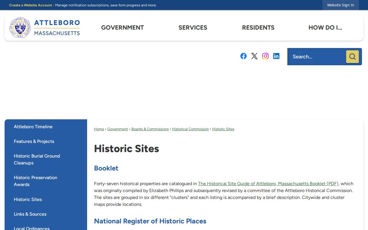
Use a historic cluster to compare an address with plans, maps, and directories, not as a substitute for a current neighbor list.
Attleboro Neighbors Public Contacts
Where no verified neighborhood association roster exists, public meeting and history resources are the honest community layer. The contacts below are organizations with public information. None is presented as a directory of residents or members.
| Public resource | Contact or access | Useful local context |
|---|---|---|
| Historical Commission | Public meetings at Attleboro Public Library, 74 North Main Street, first Thursday monthly except July and August | Historic sites, public preservation discussion, and the six-cluster guide |
| Attleboro Area Industrial Museum | 42 Union Street and public museum resources | Industrial neighborhoods, company history, and local artifacts |
| Attleboro Historic Preservation Society | Public collections and local-history projects | Building, South Attleboro, photo, postcard, and local-story context |
The Historic Preservation Society collections provide public historical context for buildings and events.
Those collections may explain a block's past, but they do not establish current residency or private membership.
The Attleboro Area Industrial Museum preserves industrial history and exhibits at its Union Street location.
Its company and neighborhood history can add context to a historic address without becoming a roster of current households.
Attleboro Neighbors Source Comparison
Attleboro official records and commercial neighbor-lookup categories answer different questions. A commercial compilation can mix recorded owners, former occupants, relatives, and repeated address data. It may be quick to search, but it has no authority over parcel geometry or an Attleboro Registry plan. Start with the source that matches the question, then preserve its stated limit.
| Source category | Strength for a block check | Important limit |
|---|---|---|
| Official parcel, assessment, deed, and plan records | Connect a parcel, recorded owner, legal description, and mapped boundaries | Do not reliably identify every occupant or prove household composition |
| Permitted municipal voter records | Can supply statutorily public registration fields at listed addresses | Request rules apply; confidential and minor records are protected |
| Commercial neighbor-lookup products | May offer broad compiled leads | Can conflate people and addresses; not a replacement for official confirmation |
Note: Verify a selected parcel with its assessor card and Registry plan before relying on a block relationship.
Privacy Limits for Attleboro Neighbors
Attleboro property records identify taxable parcels and recorded owners. They do not provide an open list of renters, household members, utility users, delivery addresses, or protected residents. A tax-bill mailing address is where correspondence goes. It may be another home, a business, a post-office box, or an address outside Attleboro. Treat it as a mailing clue, never as household proof.
Massachusetts protects confidential voter registrations. A qualified voter can be represented by a confidential number rather than a name and address in public lists. The Address Confidentiality Program also supports eligible people who need a substitute address. A protected address is not missing data to be reconstructed from nearby sources.
Lawful use. Use parcel and public-history information for civic curiosity, reconnection, or understanding a block. A public address is not permission to monitor, threaten, stalk, or harass someone. Massachusetts law addresses stalking and criminal harassment.
The Massachusetts criminal-law list includes M.G.L. c. 265, sections 43 and 43A on stalking and criminal harassment.
Attleboro Neighbors When Systems Fail
Access continuity. Attleboro City cybersecurity notices from late 2025 and March 2026 are a reminder that online availability and record custody are different things. If a municipal page or layer is unavailable, keep the address, parcel ID, date range, and record type together, then ask the actual custodian for the defined record. Massachusetts Public Records Law provides a written-request route when an online tool does not answer the narrow question.
The City's March 2026 cybersecurity update documents the continuing incident and the City's verification approach.
For a block check, the practical fallback chain is City assessor or Planning contact, Registry plan or deed research, a municipal voter-list request where lawful, and library or historical resources for an earlier block. Each source should be recorded separately rather than merged into a claim about every neighbor.