
Attleboro ZIP Codes, Mapped
The documented geographic ZIP for Attleboro is 02703. The official facility pages place both the Attleboro Post Office and the South Attleboro station within that delivery ZIP. That is a useful starting point for the Attleboro ZIP code directory, yet it is not a city-boundary map or a list of people at every address. The research did not establish another geographic ZIP for city addresses, so the table preserves that narrow finding instead of turning routing information into a broader claim.
| ZIP | Areas Covered | Post Office | Notes |
|---|---|---|---|
| 02703 | Attleboro, including accepted South Attleboro and S Attleboro postal names | Attleboro Post Office, 901 Pleasant Street; South Attleboro station, 775 Newport Avenue | Only geographic ZIP documented for Attleboro city addresses in the research. |
The USPS page for the Attleboro Post Office identifies its 02703 service. The facility listing is useful evidence about postal service, not proof of a parcel's municipal jurisdiction.
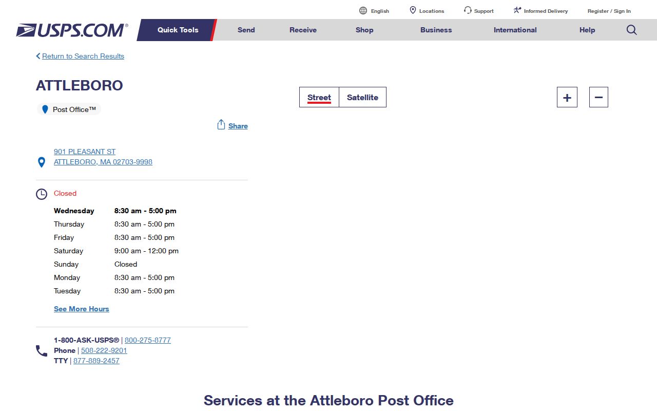
Use a facility listing to understand the postal network, then use an address result when a specific delivery code matters.
Attleboro ZIP Code Postal Names
South Attleboro and S Attleboro are USPS-accepted place names for 02703. They are postal labels, not separate municipalities. A deed, parcel card, school assignment, ward, or precinct can use a different geographic system, even when a mailed item carries one of those accepted names. Treat the standardized postal result and the City of Attleboro boundary as two pieces of the same address check.
The South Attleboro station listing shows 02703-5953 and its Newport Avenue location. It confirms that the station operates in the 02703 service area.
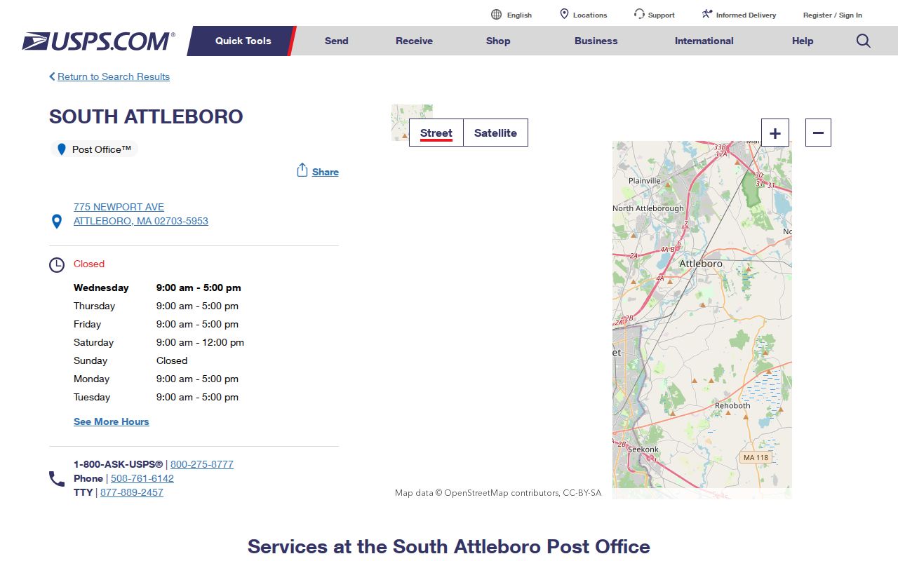
That station name should help interpret mail labels without changing the city shown in municipal records.
Records geography. Attleboro's city boundary, 02703 delivery geography, South Attleboro postal name, precincts, and Northern Bristol Registry district do not form one shared map.
Verify an Attleboro ZIP Code
The USPS ZIP Code Lookup is the right tool for one complete street address. It accepts street address, city, and state, then returns a standardized ZIP result. This is more reliable than guessing from a neighborhood name or a nearby post office. Save the normalized result with the date checked when the address will also be used in a parcel, voter, or historical-record search.
- Enter the full street address with Attleboro and Massachusetts in the USPS lookup.
- Record the standardized street form and ZIP returned for that address.
- Compare it with the parcel situs address in Attleboro AxisGIS if the question concerns land or ownership.
- Use the voter tool only for an individual whose name, date of birth, and residential ZIP are known.
The official USPS lookup screen shows the address-oriented form used for this step.
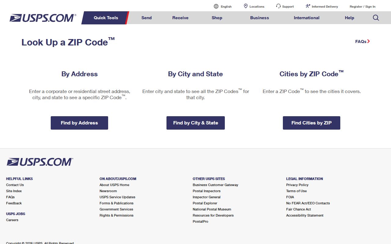
An address-level return answers the mail question. It does not create a ZIP-wide roster of Attleboro residents.
Search Attleboro ZIP Code Records
ZIP-based searching is limited in Attleboro. AxisGIS accepts owner, address, or parcel ID, but the published help does not document a ZIP filter. It may expose a ZIP attribute in a live view, but that has not been verified. The Massachusetts voter-status portal uses a five-digit residential ZIP to check one submitted identity combination. It is not a browse tool for everyone in a ZIP.
MassGIS can support a map exercise by placing its parcel and ZIP layers together, but the fiscal year and update date must travel with the result. That analysis can show how a delivery area and parcel fabric relate. It cannot establish which residents receive mail at every point inside a polygon. For a current parcel, use the municipal map; for a title question, use the legal description and Northern Bristol Registry record; for mail, return to USPS.
For a place on a specific street, the ZIP should narrow the question before you search the parcel by address. The Attleboro street directory gives the fuller address-by-address record sequence after that point.
The Massachusetts voter-status form requires the individual's registered first name, last name, date of birth, residential ZIP, and agreement checkbox.
Its result can report registration and polling information for the entered person, but it does not prove that person currently occupies a parcel.
Attleboro ZIP Code Search Fields
The voter portal's fields show why it is a verification tool rather than a ZIP directory. All identity fields are required before the submitted record can be matched. Official search tips also say a recent mover may need to try the ZIP for the last registered address.
| Voter-status field | Format | Required | Use in an Attleboro ZIP check |
|---|---|---|---|
| First name | Registered name | Yes | Try the name used at registration. |
| Last name | Registered name | Yes | Pairs with the submitted first name. |
| Month, day, year of birth | Three selections | Yes | Identifies the individual request. |
| Residential ZIP | Five digits | Yes | Use current or last registered residential ZIP. |
| Agreement | Checkbox | Yes | Acknowledges the individual-use condition. |
| Search | Submit control | After fields | Returns the person-specific status response. |
Search tip. If a recently moved voter does not match, the Secretary's official tips say to try the ZIP of the prior registered address.
The official voter-status search tips explain the name and prior-ZIP checks for an individual request.
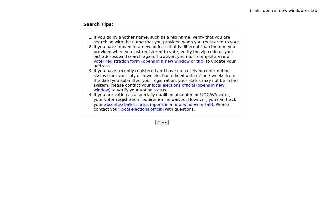
Those tips help resolve an individual match after a move. They do not turn the form into an Attleboro ZIP-wide voter search.
Attleboro ZIP Codes and Limits
MassGIS publishes ZIP polygons, but its ZIP data page explicitly warns that USPS maintains no official ZIP map. ZIPs are delivery geographies, not municipal boundaries. For a boundary address, compare the USPS standardized address with the current parcel geometry, voter precinct, and legal description. A map layer can show a useful approximation, while a licensed surveyor is the source for an authoritative boundary determination.
That distinction matters near city edges and when a postal label is shared by more than one place. The municipal-boundary layer is the best statewide GIS representation identified in the research, while a deed and plan identify land in the recorded system. A voter precinct answers a separate election question. The Attleboro ZIP code directory should therefore be read as a delivery reference first, with the address checked again in the relevant public-record system.
The MassGIS ZIP layer is the public mapping reference for this comparison.
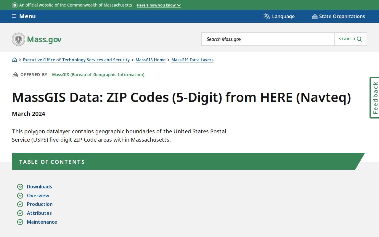
The layer is best used to examine delivery geography alongside, rather than instead of, a city or parcel boundary.
- ZIP and ZIP+4
- A five-digit ZIP directs broad delivery handling; ZIP+4 adds a smaller delivery segment to that base ZIP.
- PO box ZIP
- A ZIP assigned for post-office-box delivery can differ from the code tied to a street delivery address.
- Unique ZIP
- A ZIP used for one large organization or facility is not automatically a neighborhood boundary.
- Carrier route
- A delivery sequence within a postal area, not a municipal, voter, or parcel boundary.
Attleboro ZIP Code Routing Lists
A USPS labeling-list result names 02703 alongside 02712 and 02760 through 02763 in an Attleboro post-office service list. Those entries are routing or destination information. They do not establish that each code is geographic Attleboro coverage. In particular, 02760 belongs to North Attleboro, a different municipality and post-office city. Do not turn a nearby ZIP in a routing list into evidence that an address lies in Attleboro.
Historical directories have a similar limit. Their stated scope controls, not a modern postal code. A directory that includes North Attleboro or Plainville may be valuable history but is not a modern municipal ZIP map.
Note: No official source inspected documented a second geographic ZIP serving Attleboro city addresses.
Attleboro ZIP Code Directory Limits
A ZIP is a coarse index, not evidence that someone resides inside a municipal boundary. The USPS lookup verifies delivery treatment for an address. AxisGIS links an address or parcel to assessment information. The voter-status portal can confirm a submitted person and residential ZIP combination, subject to its own rules. None of those sources becomes a ZIP-wide resident list simply because the same five digits appear in more than one record.
Keep the question narrow. Ask whether a street address receives a given ZIP, whether a parcel lies inside the City of Attleboro, or whether a particular voter-status request matches. Combining those answers without their source labels can turn a correct postal result into a false claim about location or residency.
Attleboro ZIP Code Parcel Context
MassGIS also publishes statewide property-tax parcels. Its parcel materials note that fiscal-year metadata matters and that municipal submissions are published after quality review in batches. That makes the layer useful for a broad overlay, but it should not replace the current municipal parcel viewer when a single address needs checking. Record the layer date and the source used, especially where a delivery code and a legal parcel edge appear to conflict.
The MassGIS property-tax parcel page describes the statewide layer and its Attleboro update history.
Pair the parcel layer with a postal result for mailing questions and with a deed or plan for land-boundary questions.
Attleboro ZIP Code City Context
Attleboro borders North Attleborough, Plainville, Mansfield, Rehoboth, Seekonk, and Rhode Island. That setting explains why postal, municipal, Registry, and precinct labels may travel together in a search result without identifying the same footprint. The city information page supplies local population and area context, but the postal question still turns on the address itself.
The City of Attleboro information page provides the municipal context used beside postal research.
Keep the postal answer, parcel answer, and municipal answer in separate notes when an address sits near a boundary.